Autonomous reconnaissance for underground mine safety.
MineX is an AI-powered autonomous rover designed to perform remote reconnaissance in GPS-denied underground mine environments — detecting trapped workers, mapping tunnel structures, and monitoring atmospheric hazards so that rescue teams can operate with full situational awareness.
Our Mission
To reduce responder exposure to hazardous underground environments by enabling autonomous reconnaissance before human entry. MineX combines thermal AI, LiDAR SLAM, and multi-gas monitoring to provide real-time situational awareness that saves lives and accelerates rescue operations.
Our Vision
A future where autonomous rover fleets with Wi-Fi HaLow mesh communication continuously monitor underground mines — building real-time 3D hazard maps, detecting atmospheric threats, and alerting operators instantly. Applicable across coal, metal, and mineral mining sectors nationwide.
The MineX Rover Capabilities
Core capabilities of the autonomous architecture
Thermal + AI Survivor Detection
Multi-Gas Hazard Monitoring
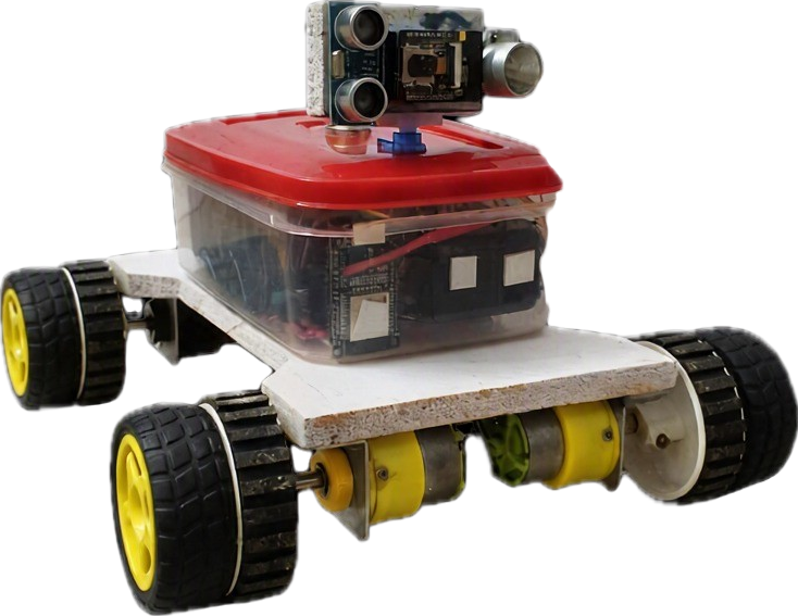
Modular & Scalable Design
GPS-Free 3D SLAM Mapping
Auto-Retrace & Smart Docking
Technical Approach
A comprehensive overview of hardware integration, software architecture, and AI pipeline.
Sensing & Hardware
Multi-modal data acquisition
Multi-Threaded Arch
ROS2 Nav2 + Fault Tolerant
NVIDIA Jetson / RPi 4
Edge AI · SLAM · Decision Making
Data & Communication
Local storage, mesh relay, and live broadcast
AI-Powered Vision & Detection
Multi-modal detection for targeted rescue
AUTONOMOUS MINE SAFETY & RESCUE SYSTEM
Feasibility and Viability
Ruggedized All-Terrain Mobility
BLDC motors with tank chassis support movement across uneven terrain, mud, dust, and debris. Replaceable modules simplify field-level maintenance and repairs.
Established Sensor & Embedded Hardware
Built on proven components (Jetson, LiDAR, FLIR, MEMS sensors) with modular architecture for subsystem development, testing, and replacement.
Edge Processing Reduces Connectivity Dependency
All critical AI inference, SLAM, and decision-making runs on the edge — reducing dependence on continuous surface connectivity.
Thermal + Visual Multi-Modal Sensing
Thermal and night vision cameras support reconnaissance in low-visibility conditions. LiDAR + IMU + SLAM enable mapping in GPS-denied environments.
Auto-Retrace & SLAM Fallback
Manual control and SLAM-based retrace provide fallback during system failures. If comms are lost, the rover safely returns to the last relay node.
Scalable Mesh Communication
Wi-Fi HaLow relay nodes and docking stations enable expandable communication coverage. Additional rovers and sensor payloads can scale future deployments.
Fault-Tolerant & Auto-Healing
Multi-threaded architecture isolates subsystem failures, ensuring the rover continues operating even if individual sensors are damaged.
Deployment-Ready for Multiple Sectors
Applicable to government/PSU mining, private mining operations, and can be configured for coal, metal, and mineral mining conditions.